Ecuador’s volcanoes
South America - Ecuador - Andes Highlands - Quito
von 28.12.2013 bis 15.01.2014
Autor: Heimo Wallner28.12.2013
Arrival to Quito
After a pleasant night at the Ibis Hotel Amsterdam Airport, we took the hotel shuttle to the airport. Breakfast was taken in the airport lounge. Punctually at 09:45 we boarded a Boing 777-200. Departure time should be at 10:15. Unfortunately, the departure was delayed by 1:15 hours due to a defect in the plane’s entertainment system. The defect could not be fixed, so it was started without entertainment program.
Finally, no TV and no music during the entire flight. The flight time was 11 hours and 36 min. Arrival in Quito was at 17:10 local time. After a short meeting with the mountain guide and a small dinner, the well-deserved night’s rest could begin.
Conclusion: Without sound reinforcement, flying is a luxury.
29.12.2013
Acclimatization in Quito
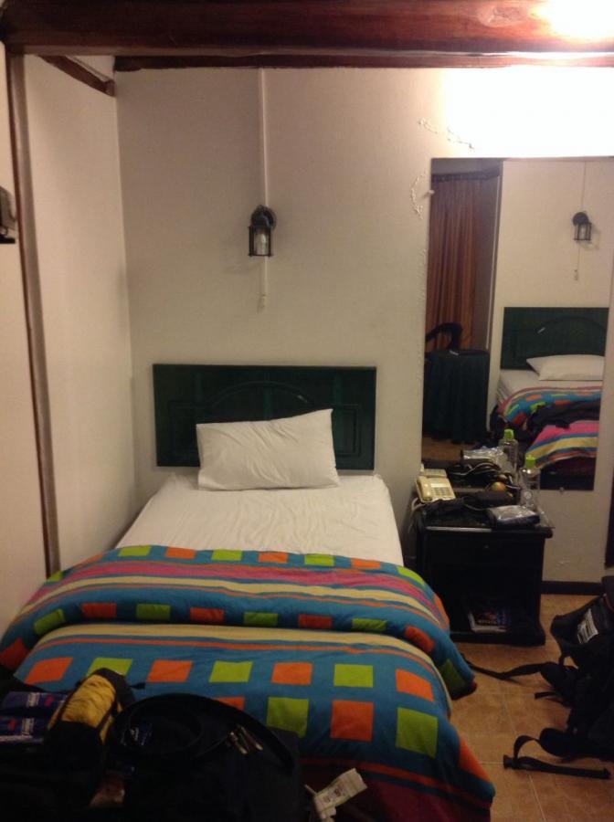
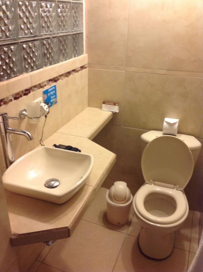
We stay at the Hotel Fuente de Piedra II
Today is dedicated entirely to familiarization. After breakfast we head south through the city of Quito. It is still very quiet on this Sunday morning.
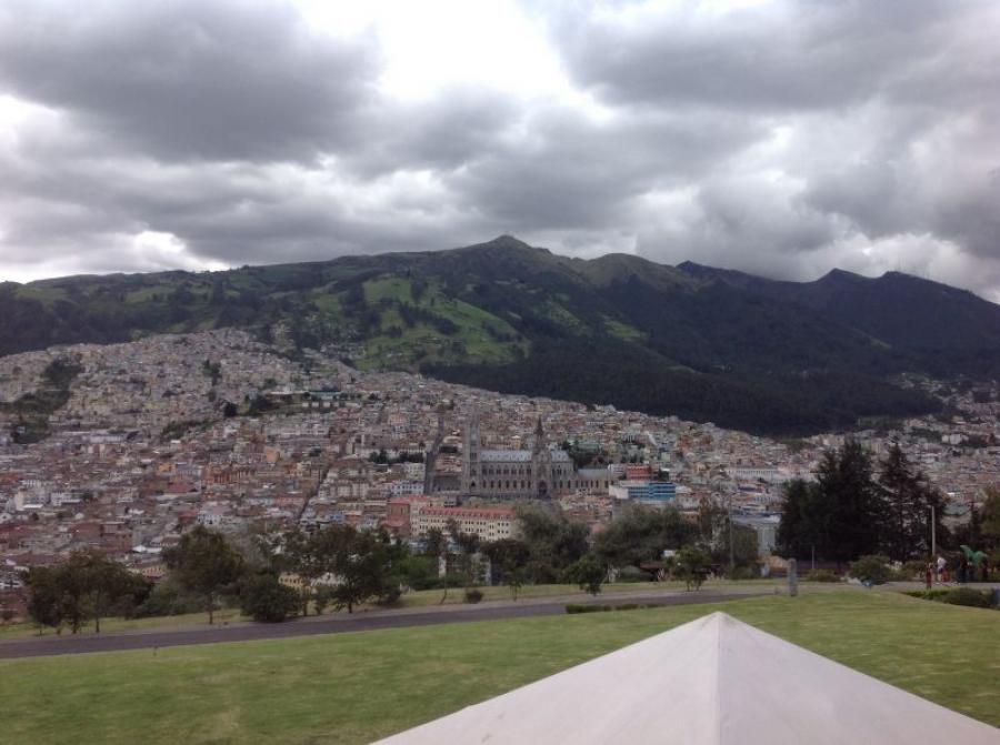
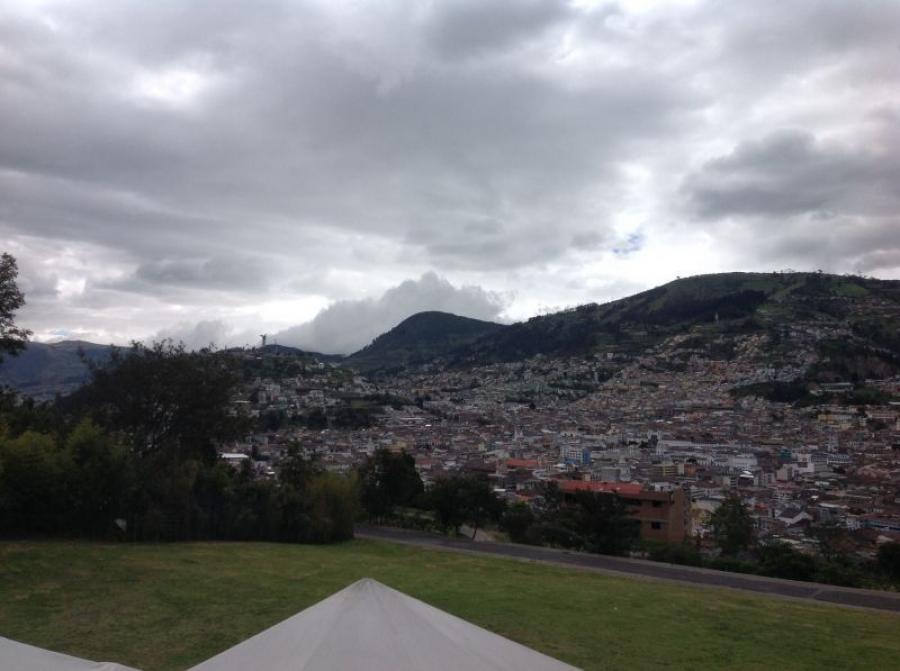
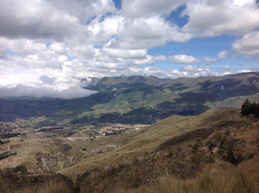
The city is located at about 2,800 m and stretches from north to south for about 50 km. It is nestled in a valley basin surrounded by gentle green mountains. We keep eastward and climb up to Itchimbia a beautiful pavilion at about 2,900 m altitude.
Here we will have our lunch and enjoy the magnificent view of the city and the local mountain Pichincha. After lunch we walk leisurely through the city again towards our accommodation.
Today, that’s enough for us for now, we’re getting used to the SLOW.
30.12.2013
City tour of Quito and tour to the equator.
After breakfast, the tour of the city of Quito began.
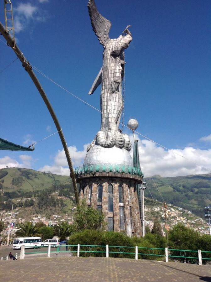
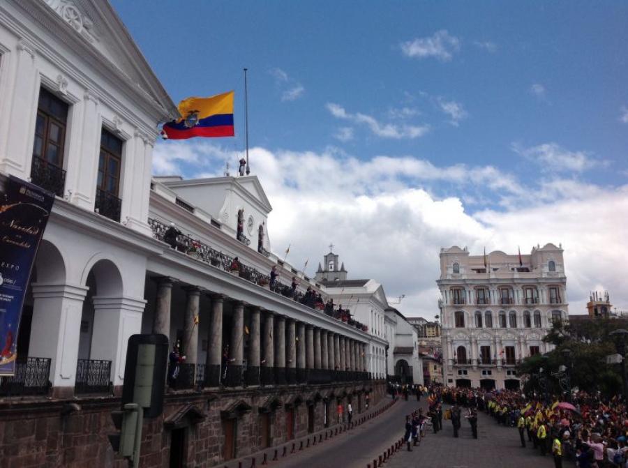
First stop was the statue of the Virgin Mary with wings at the Panecilla. This sight is located in the south of the city on a hill. From here you have a fantastic view of the city and the surrounding mountains. In order to experience the changing of the guard in the old town, we drove towards the center. After a short walk through the city and a visit to the Franciscan Church, the changing of the guard began in the square in front of the government building.
This spectacle with musical accompaniment lasted about 20 min. After that, the trip went north to the equator. A short guided tour and some astronomical details were the highlights at the equator.
In the evening we settled down with wine and tapas.
Conclusion: It is easier to acclimatize with culture and excursions.
31.12.2013
Ascent of Pasochoa 4.200m
Early in the morning at 06:00 there is breakfast at the hotel.
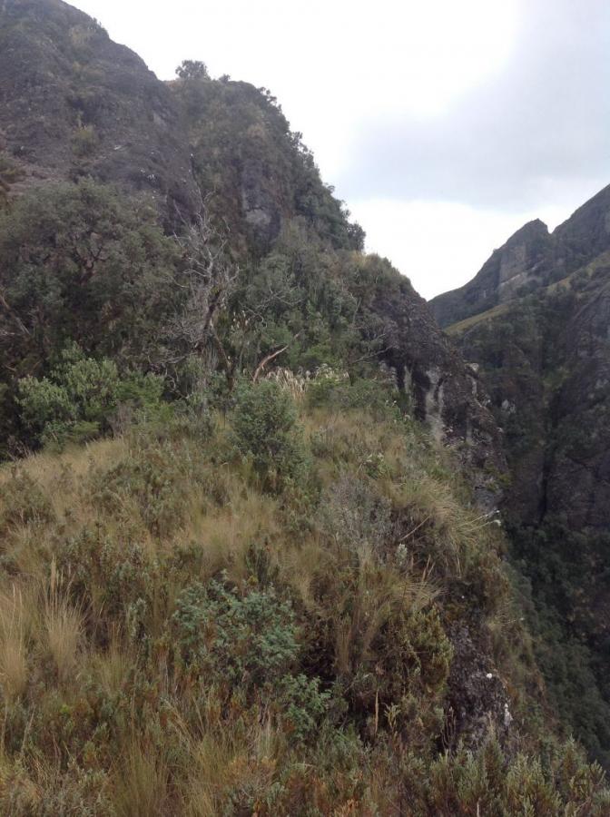
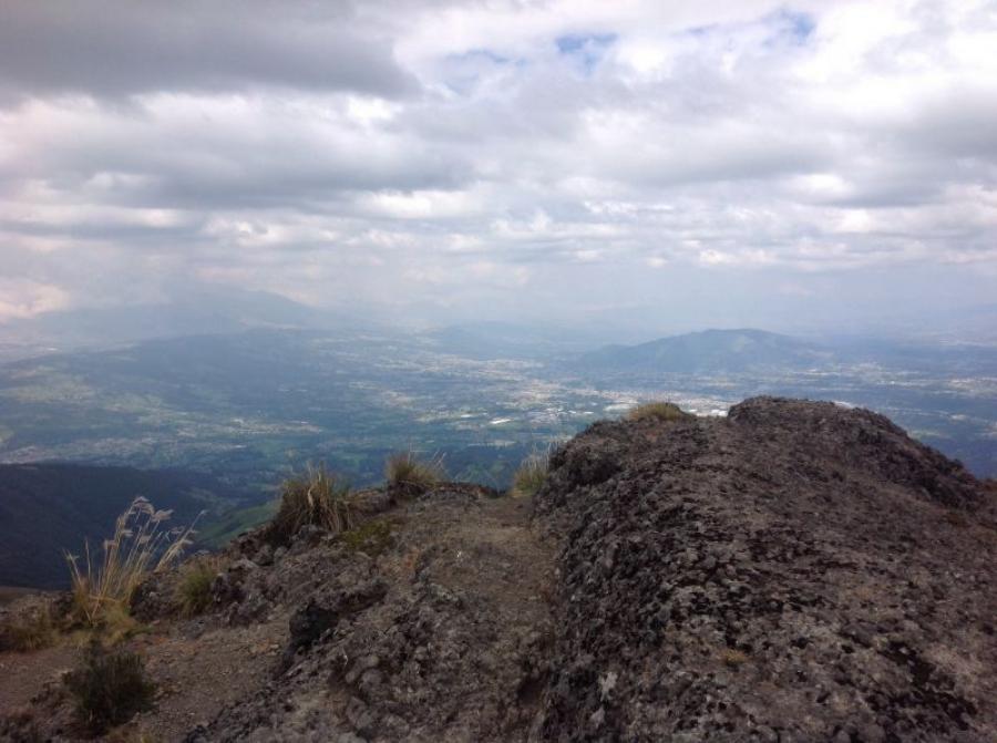
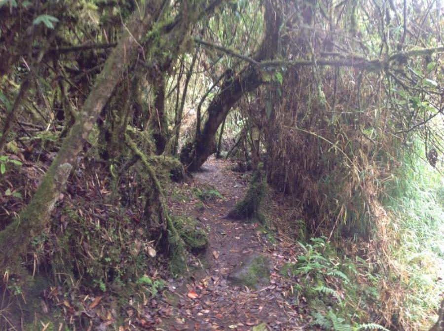
Departure towards the south by bus at 07:00. After a drive of about an hour and a half, we reach the entrance to Pasochoa National Park. After completing the formalities, we can begin the ascent. The entrance to the park is located at about 2,800m. The first part of the climb leads through dense bamboo forests to an altitude of about 3,300m. Then it goes steeply uphill through dense high and steep grassy slopes to about 3,500m. Here is the crater rim of this huge volcano. The highest elevation of this crater is our destination. About 700 meters of altitude still have to be overcome to reach this destination. With partial climbing and crossing mystical forests, we reach the pre-peak at about 4,000m. Now we only need to master the descent to the Scharte and then the final ascent to the summit. After a total of 6 hours we reach the summit at an altitude of 4,200 meters. After a short rest we take the descent towards the southeast and after about 2 hours we reach the bus that takes us back to the hotel.
01.01.2014
Altitude adaptation with ascent of Ruco Pichincha
It is of great importance, should you live in Quito, that you visit the local mountain. With Quito’s only cable car, this can be done relatively comfortably. We took advantage of this opportunity and drove to the mountain station at the foot of Pichincha ( 3,900 m).
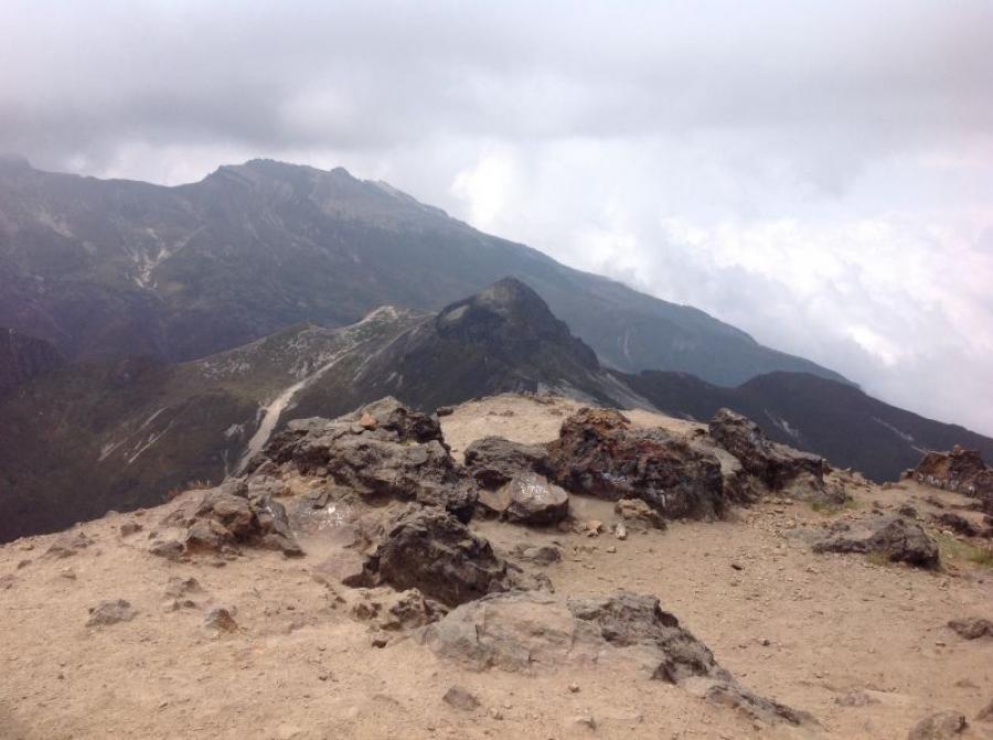
From here, a long and flat climb leads to the summit cone. At the foot of this cone at 4,500 m we took a short break and then climbed to the summit of Ruco Pichincha ( 4,700 m).
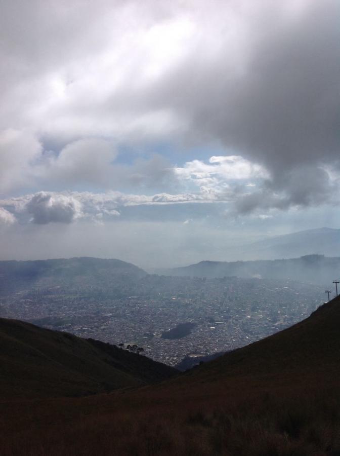
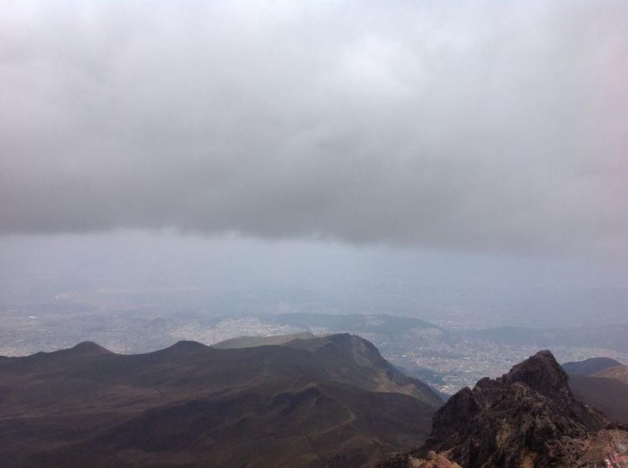
The entire climb from the top station took about 3.5 hours. The weather was very cloudy, but we could see on Quito. Only the surrounding mountains were hidden by clouds.
At the summit there was no wind and the temperature was about 12 degrees. After a half-hour rest at the summit, we got ready again for the descent. We reached the cable car station after about 1.5 hours.
We boarded the gondola and headed downhill, where the bus was already waiting for us. Now we leave Quito and head south to the town of Machachi, as the next mountains await us there.
02.01.2014
Machachi starting point for the ascent of Cime El Corazon (4,800m).
After a very pleasant night at the hacienda, we are treated to a hearty breakfast at 07:00.
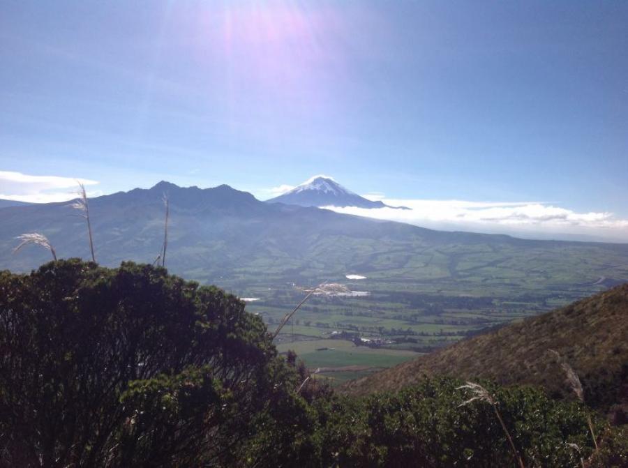
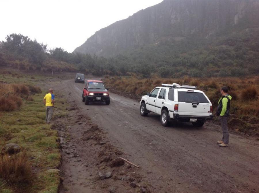
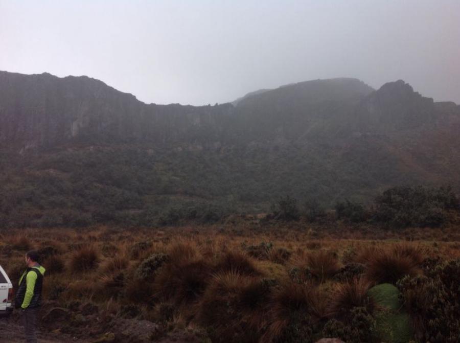
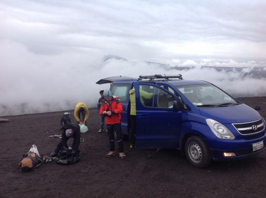
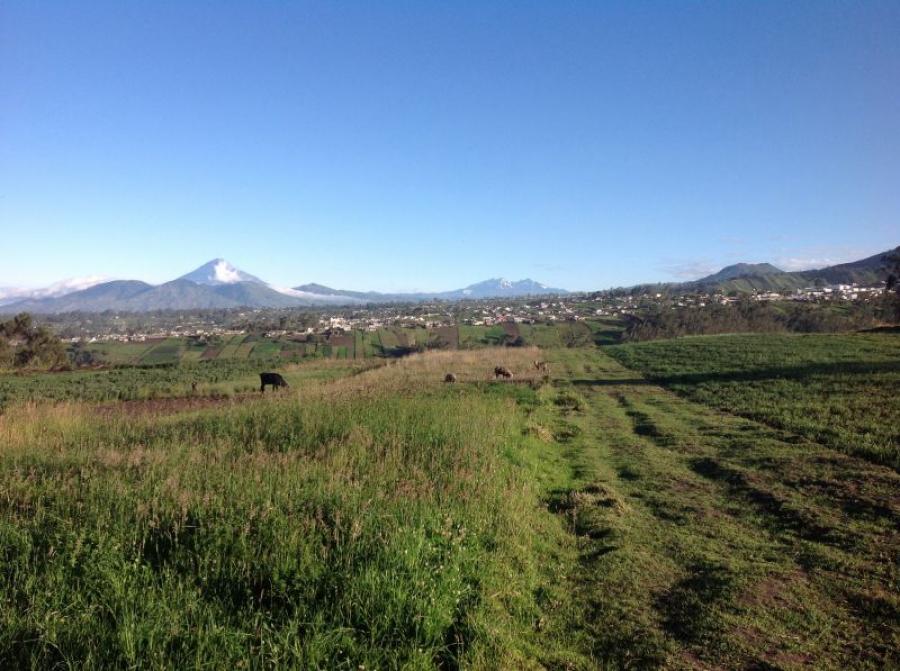
To start today’s tour we need a vehicle to get to the starting point at about 3,900 meters. We manage this ascent with a four-wheel drive vehicle. The weather is brilliant and we start our ascent at 08:45. First it goes about 400 Hm through pampas grass and a washed out trail. Arrived at the first plateau offers us a breathtaking view the view of the two volcanoes Cotopaxi and Chimborasso.
These mountains in the distance are not our destination today but the heart-shaped cone of Corazon ahead. The ascent now becomes steeper and we climb northwards over the grade towards the mountain summit.
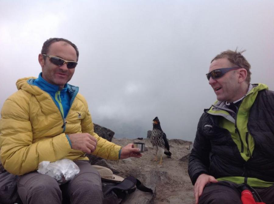
At the top we are enveloped by fog. In return, we get a surprise. We are not alone up here, but get a visit from a very trusting mountain dweller. The hunger makes the bird lose its natural shyness and this gives us the opportunity to take some photos.
This bird is a bird of prey of the genus Caracara. After a break of about 1.5 hours we leave the summit via the south ridge and climb comfortably to El Chaupi the place of our overnight stay today. Ascent time to the summit was about 3:00 hours.
Descent time about 1.5 hours.
03.01.2014
Ascent of Iliniza Norte (5,125m)
Early in the morning at 04:00 we are woken up and have a quick breakfast.
The departure to the starting point of the summit climb starts at 05:00. We pack our lunch and get into the off-road vehicle that will take us to an altitude of 3,900 meters.
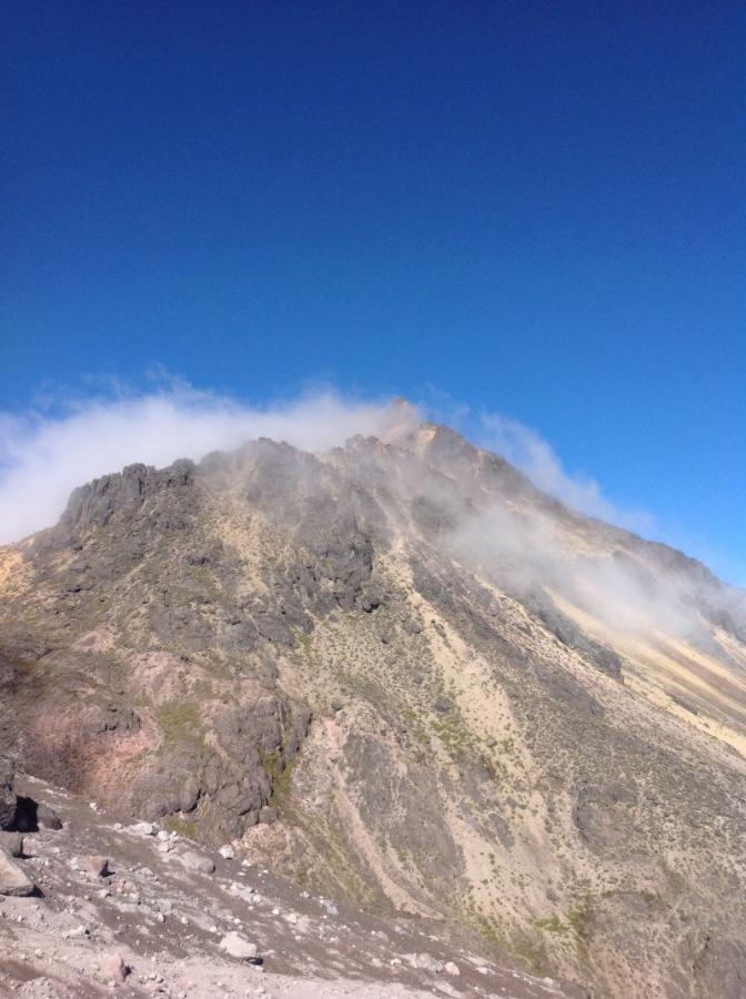
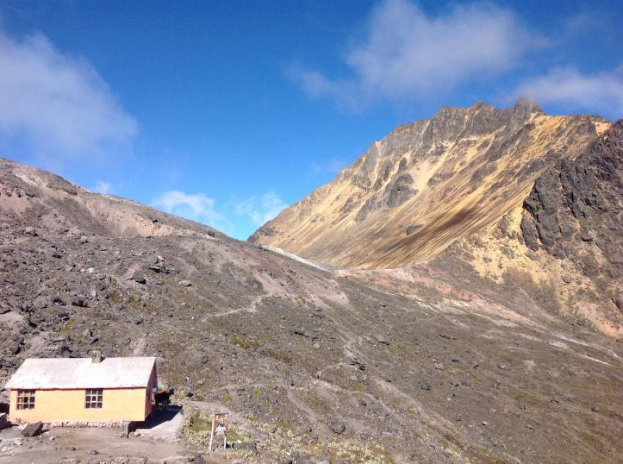
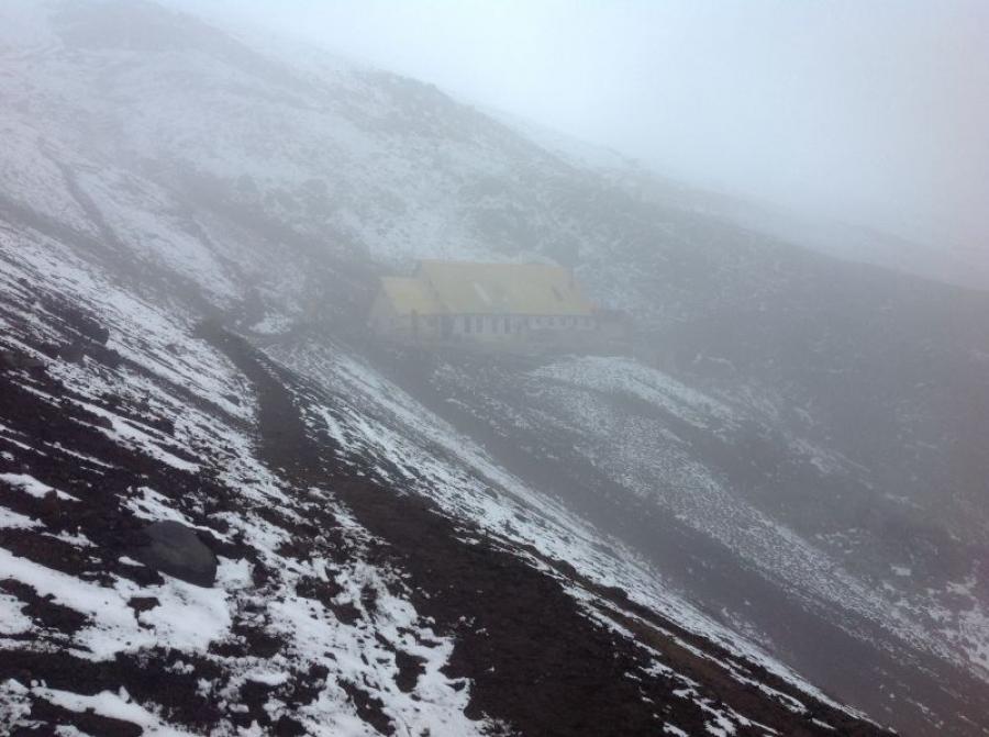
At 06:45 we start in the direction of Refugio Buena Horizonte. The ascent begins gently rising to a moraine at 4,400 m. Over the moraine to the hut still have to overcome steep 300 meters in altitude. We reach the hut at about 09:45. After a short rest and a cup of coca tea, we begin the climb to the summit.
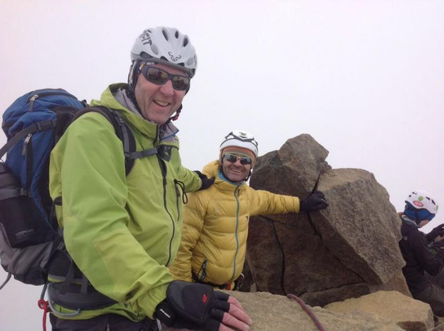
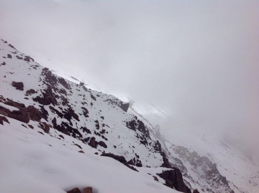
The weather conditions were very windy and foggy. We had a steep and partially exposed grade to climb and decided to use a rope belay. Now we could safely and with partial effort reach the summit at 5,125 m in 2 hours. This peak even had a summit cross, which we missed on all the mountains we had climbed so far.
The descent was incomparably easier, since we could slide down 500 m over a scree slope. After 1.5 hours we were back at the parking lot of the starting point. After a short lunch break, we drove our bus north to Cayambe. Here we will take a day break.
04.01.2014
Rest day and excursion to the Indio market in Otavalo
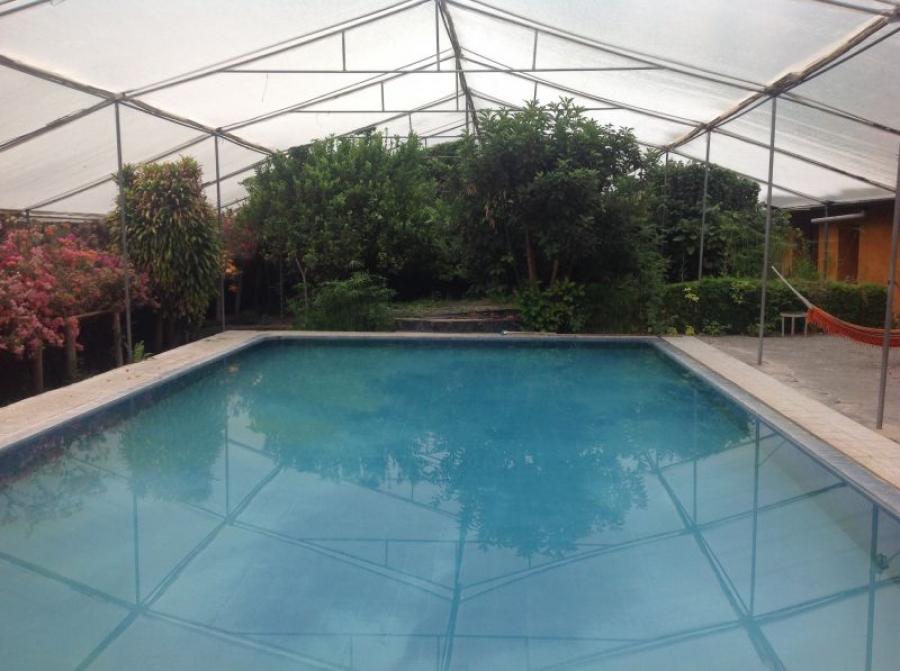
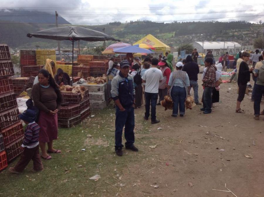
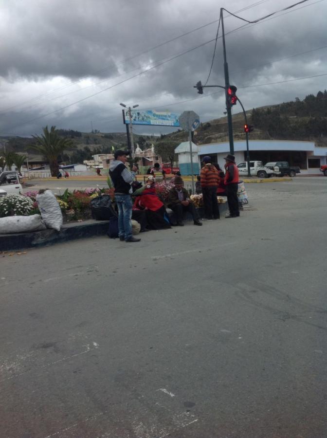
After arriving at the hacienda in Cayambe, we took a day of rest. After breakfast we drove to Otavalo to the already very famous Indio market. Today Saturday is additionally a cattle market, which we do not want to miss. The hustle and bustle of these markets is always an extraordinary experience. There is nothing more relaxing than strolling through this market. After a short lunch break we go back to the hacienda to relax. The courtyard of this estate is covered and equipped with a palm garden and swimming pool. Best conditions to prepare us for tomorrow’s summit climb.
05.01.2014
Ascent to Cayambe Hut (4,650m)
Unfortunately, the weather conditions have deteriorated a little. Nevertheless, we want to make the ascent to the Cayambehütte. The drive leads from the village of Cayambe up past individual mountain farms and through eucalyptus forests. The Cayambe volcano is surrounded by a park called Pie Monte. At the entrance to this park, we had to register and then we could continue our journey to the lodge. From now on, the ride was quite adventurous and led across valleys and gorges. Visibility was clouded by fog and it began to drizzle lightly.
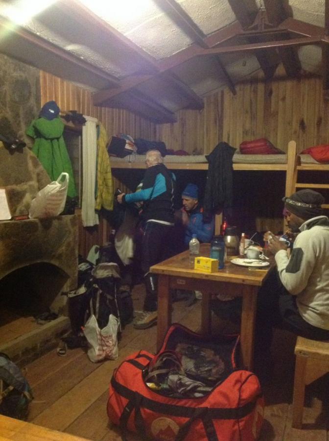
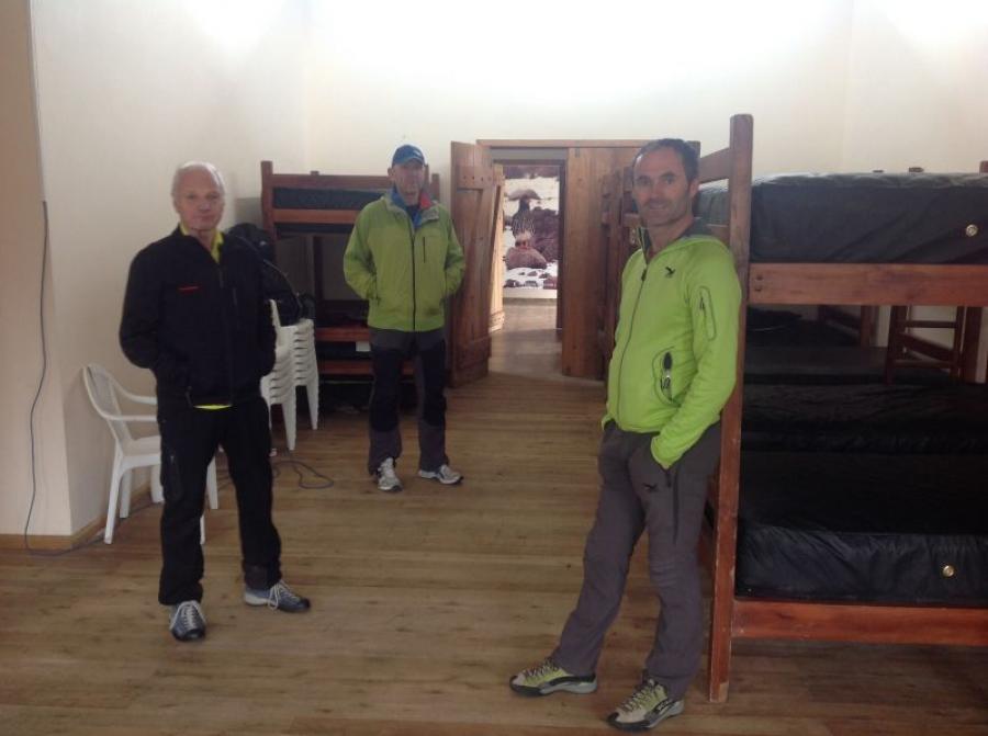
Arrived at the hut, we realized that we can not dare a mountain tour here in these conditions. So we made ourselves comfortable in the self-catering hut and had lunch. In front of the hut it now started to rain harder, so we decided to have a siesta. From 16:30 the rain let up a bit and we climbed to about 4,770m.
But the wind and the drizzle were so extreme that our jackets got wet very quickly and we returned to the hut. Now it was a matter of waiting to see what the weather would do until the departure at 01:00 in the morning.
06.01.2014
Abortion of the ascent of Cayambe (bad weather)
At 01:00 in the morning we got out of bed and checked the situation. Unfortunately, the rain had not stopped and the zero degree limit was at 5,200 m which meant that we would have to walk the first 3 hours in the rain with zero visibility. We therefore decided to wait and see.
Unfortunately, the rain did not let up and the climb up Cayambe was not possible due to this. After breakfast at the hut, we set off again towards the valley. The weather was still very rainy. We picked up the rest of our luggage and headed towards the Papalacta Thermal Spa.
Here we concentrate on the next mountain adventure the Cotopaxi with hopefully better weather.
07.01.2014
Spa day in Papallacta (3,320 m)
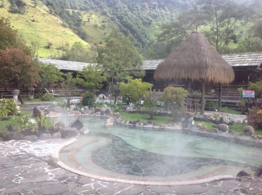
Today is a leisurely day. A short hike after breakfast through the high valley is the only exercise therapy we do today. Otherwise, it’s just thermal baths and relaxation. From tomorrow the adventure Cotopaxi begins.
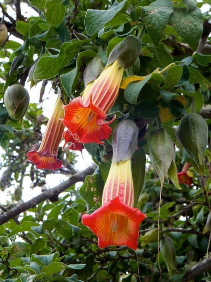
The healing thermal water shoots with its own power and with more than 40 degrees Celsius from the rock crevices into the pools. It is very good for us and we enjoy these relaxing hours. A lush nature surrounds this beautiful plant with trumpet trees and amaryllis plants. After this rest day we are looking forward to a good dinner in the nice hotel restaurant.
08.01.2014
Cotopaxi National Park and ascent to Jose Riva Hut (4,865 m)
After breakfast in Papallacta, we drove to the entrance of Cotopaxi National Park.
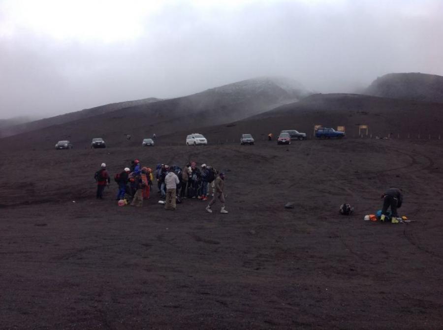
Unfortunately, the weather was very cloudy and there were some rain showers. The mountains were all in clouds. Visitor registration is required at the entrance to the National Park. After this short stop, the car took us to the highest parking lot at 4,600 m above sea level. We were lucky, and could dry. Climb up to the hut on foot.
The path to the hut was easy and consisted of fine volcanic sand and porous rock throughout. Arrived at the hut, we noticed that about 60 people were looking for the same challenge and also wanted to climb Cotopaxi. The hut was thus fully booked, but there were no toilets. Since it was a self-catering hut it was surprising how well the supply of food for the climbers worked.
All guides had brought food for their groups, which a fixed cook prepared deliciously for the guests. The subsequent visit to the toilet had to be held in nature. After dinner, immediate night’s rest was called for, because the departure for all summiters was scheduled for 0:30.
09.01.2014
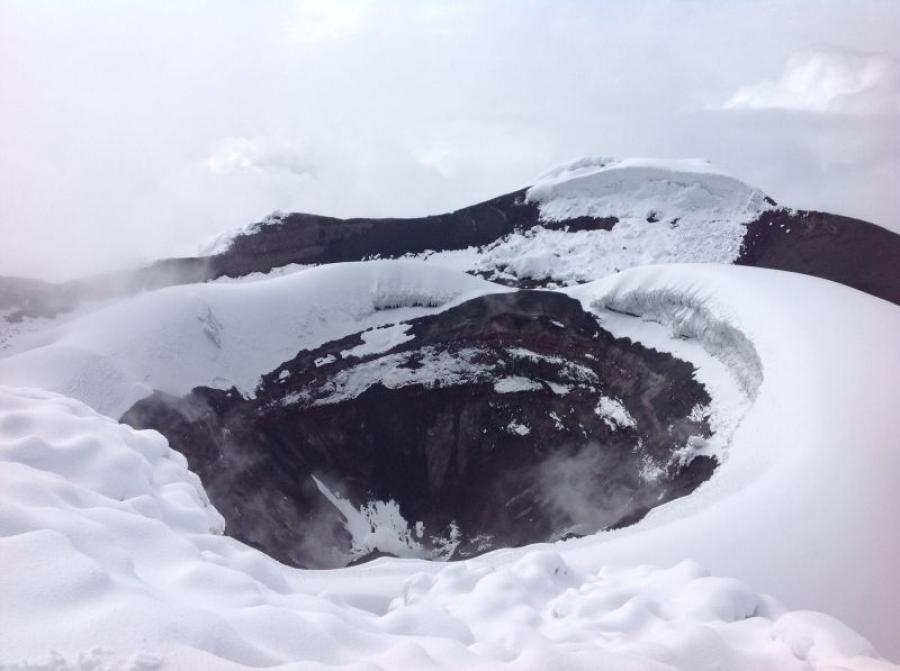
Ascent to the Cotopaxi (5.895 m)
After a short non-productive night’s rest, a bustle of activity was noticeable in the hut at midnight. All climbers wanted to take advantage of the time and leave in time for the summit at 01:00.
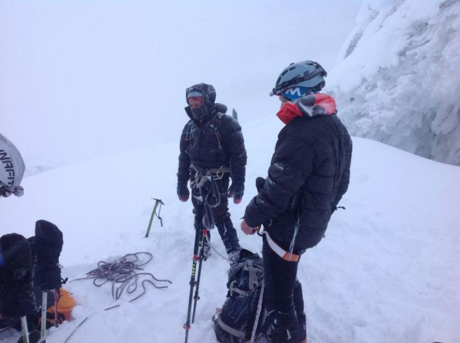
The weather was foggy with some sleet showers and not very inviting to launch. We started our ascent at 01:19. Equipped with headlamp and enough drinks, we went up the first hundred meters of altitude over volcanic sand to the edge of the glacier. Here was the point to put on the crampons and rope up. A long string of lights from several headlamps showed us the way up.
After about 2 hours, we were already met by the first climbers who had to abandon the climb due to the altitude and lack of fitness. Only about 30 climbers should reach the summit that day. We went very slowly step by step up the steep climb over the glacier. The weather was foggy cloudy with sleet and snow showers and light wind. After 4 hours and 20 minutes we reached an altitude of 4,600 meters. It was already dawn and we saw the prominent rocky outcrop of Cotopaxi and mighty crevasses. Now began the difficult climb to the summit. The fog had lifted and the sun came out.
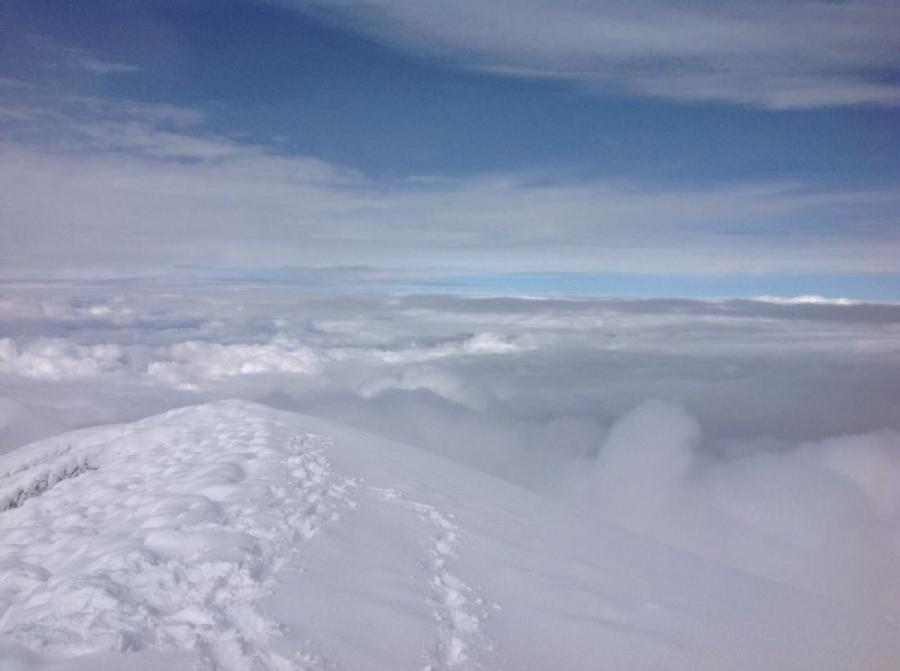
The next 3 hours were spent on slopes with 40 degree gradients, which were strenuous to master due to crumbly snow. Due to these difficulties, we reached the summit at about 09:15 in bright sunshine.
After an extensive rest at the summit, we started the descent at about 10:15 and reached the hut at about 12:30. The tour ended with lunch at the hut and then descent to the parking lot. From here we went to Banos to rest.
10.01.2014
Small excursion program in Banos
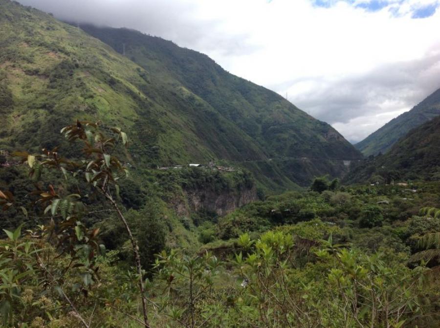
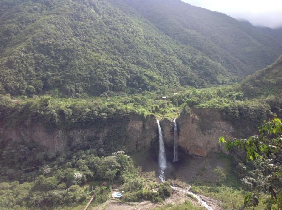
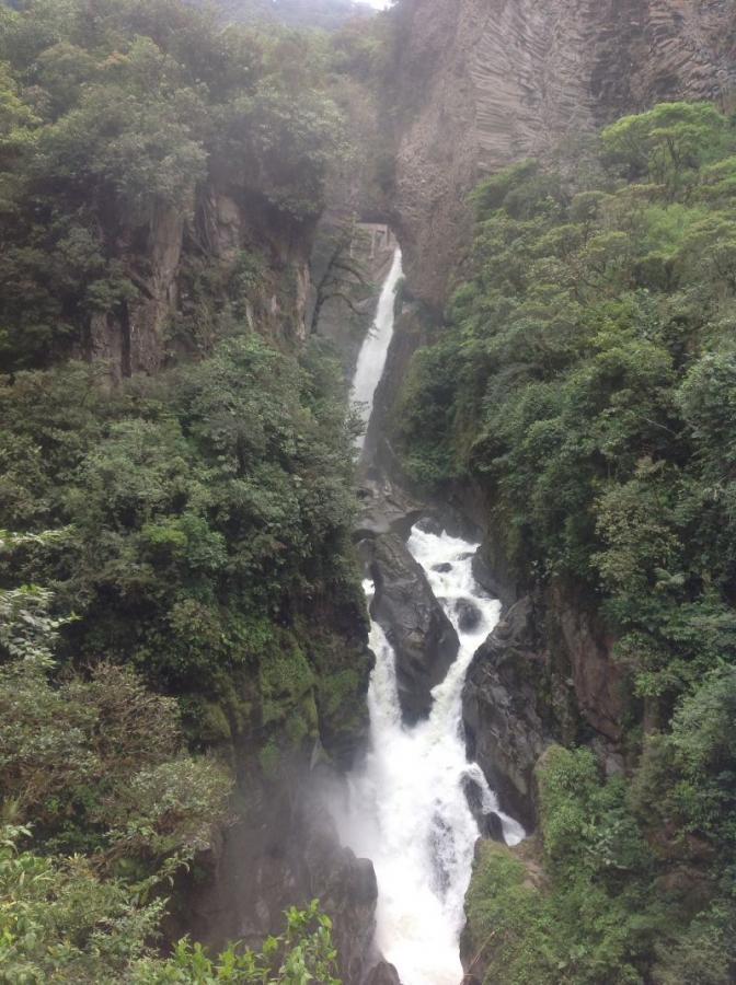
Banos is located at about 1,900 m above sea level and is overlooked by the still active volcano Tungurahua. Today we are interested in what the valley further east has to offer. Here we descend towards the rainforest. The valleys here are very deep and only passable on one side. The connection to the other side of the valley is made by small cable cars operated by private locals. Such a cable car ride over the valley with a view of two beautiful waterfalls has something adventurous. Once over there, we had the opportunity to do a little hike through the jungle. We were allowed to catch our own lunch at a small restaurant. The caught trout were prepared for us in the finest way. Afterwards, we took the cable car back to the bus. A famous waterfall with beautiful viewing platforms especially rounded off this beautiful day. In the evening we drove towards Riobamba to prepare for the next mountain days.
11.01.2014
Trip to Alausi to the Devil’s Nose.
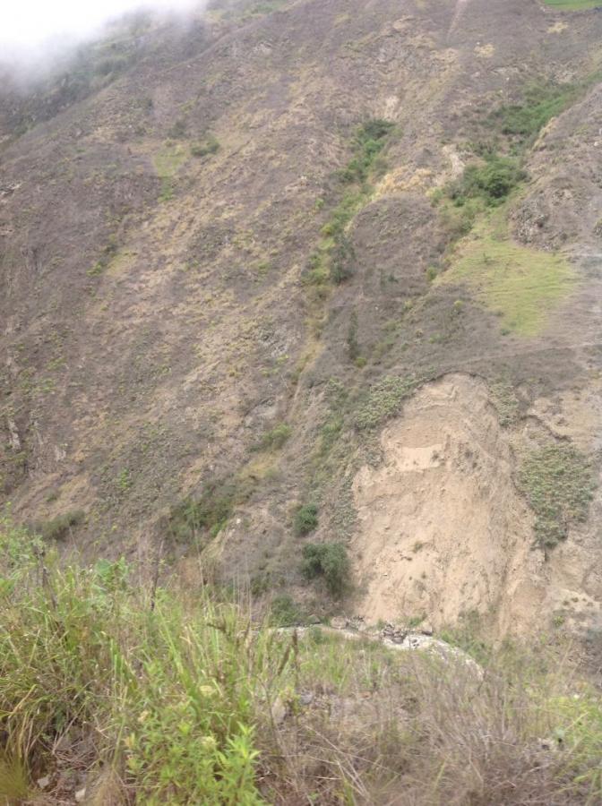
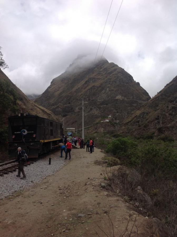
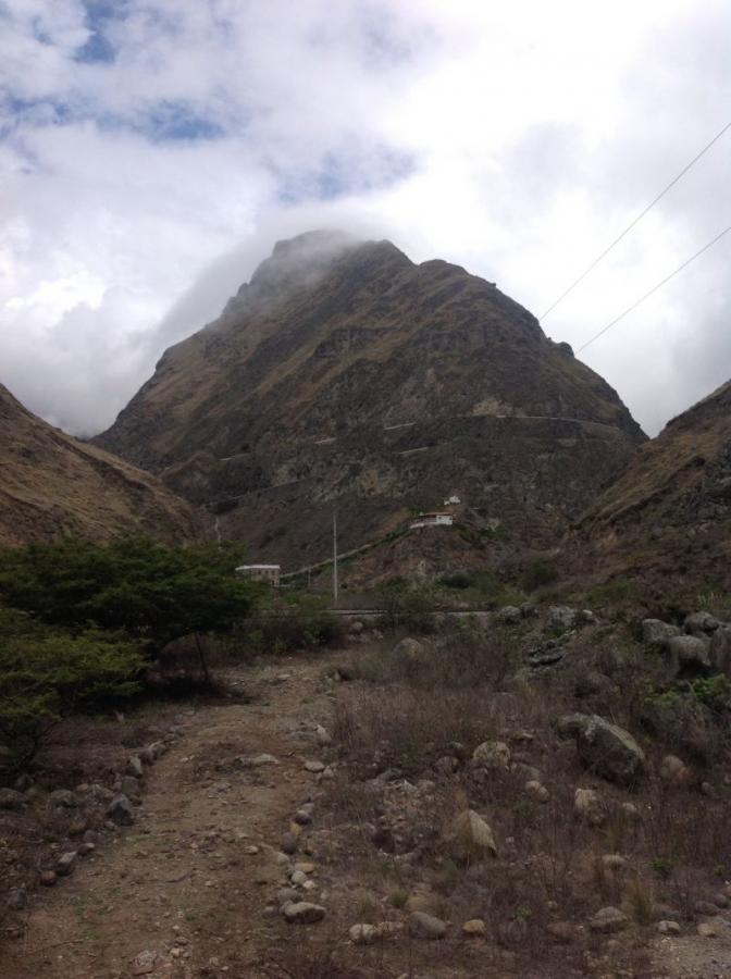
If you are ever in Ecuador, you should definitely visit the famous railroad line at the Devil’s Nose. This unique railroad line is a small adventure in itself. The starting point is the small town of Alausi, located about 80 km south of Riobamba. A tranquil mountain village at the upper end of a mighty valley. Here we board the train and travel down a breathtaking track to Sibambe.
This ride is now only used for tourism, but it has lost none of its charm. The train winds its way down the gorge in two long curves before overcoming the Devil’s Nose with two zigzag turns and arriving safely in Sibambe.
Here you will be welcomed by traditional locals who will give you a little touristy immersion into the indigenous culture. After an hour’s stay, the train takes us back to the boarding point. The bus ride back to Riobamba passes through agricultural fields and cultivated areas. Here we can still see how traditional agriculture is practiced. Indians in their typical clothing cultivate the fields by hand without mechanical aids, just as they did 100 years ago. After 90 minutes of driving back, we arrive back in Riobamba and look forward to dinner. The weather conditions for climbing Chimborazo do not look very inviting. We will decide tomorrow which opportunities will open up.
12.01.2014
Visit of Chimborazo National Park and ascent of Pico Whymper.
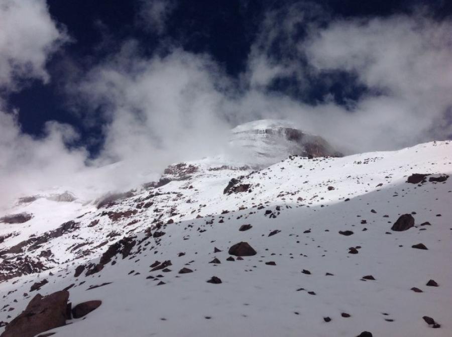
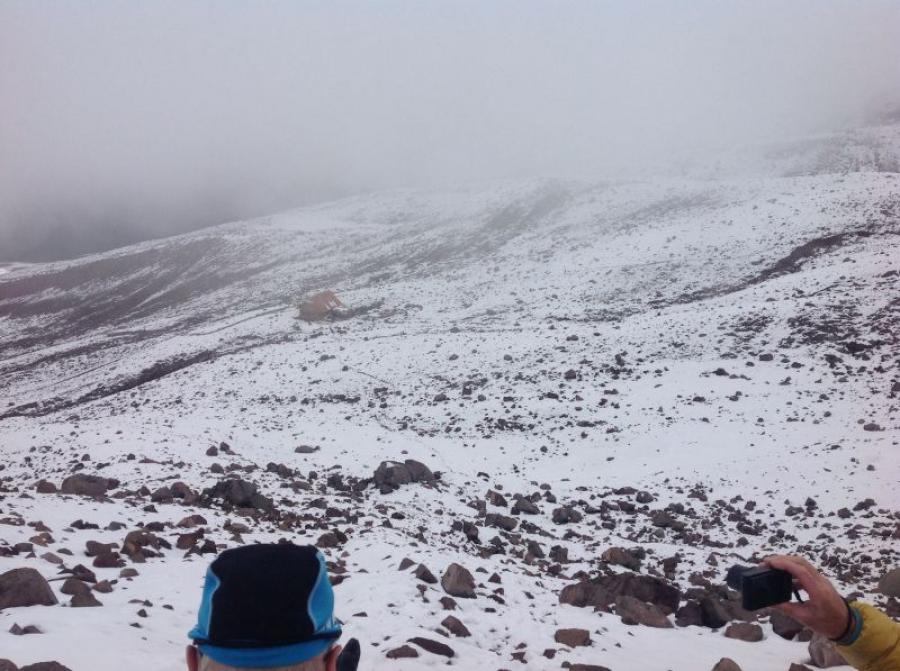
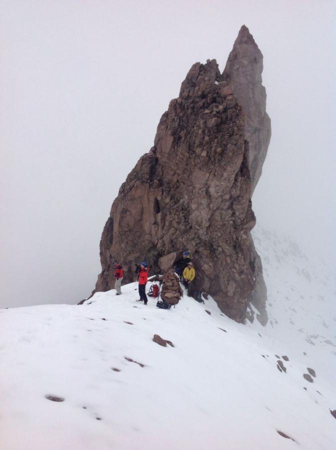
Since the weather forecast was not optimal, but we still wanted to take the chance to see the Chimborazo, we decided to go to the national park. After breakfast we drove to the entrance of the national park and further to the Carel Hut. The weather was foggy cloudy and we decided to climb Pico Whymper. This rocky peak is located at the access to Chimborazo, which was used in the past. The ascent leads past the Whymper hut, which is currently being renovated. The route does not follow the usual ascent, but leads slightly eastward to the right over moderately steep terrain. After about 300 meters of altitude we reached the steep peaks of Pico Whymper.
We were lucky and a sunny window gave us a view of the fore peak of Chimborazo. Climbing the summit was now no longer our primary goal. We were now at about 5,300 m and were 1000 vertical meters from the summit.
The sky was covered by a thick layer of clouds and we made our way back to the parking lot. From here we drove towards the west and circled Chimborazo to have another look at it from the north. Shortly before nightfall, the clouds all dissipated, revealing a view of the summit.
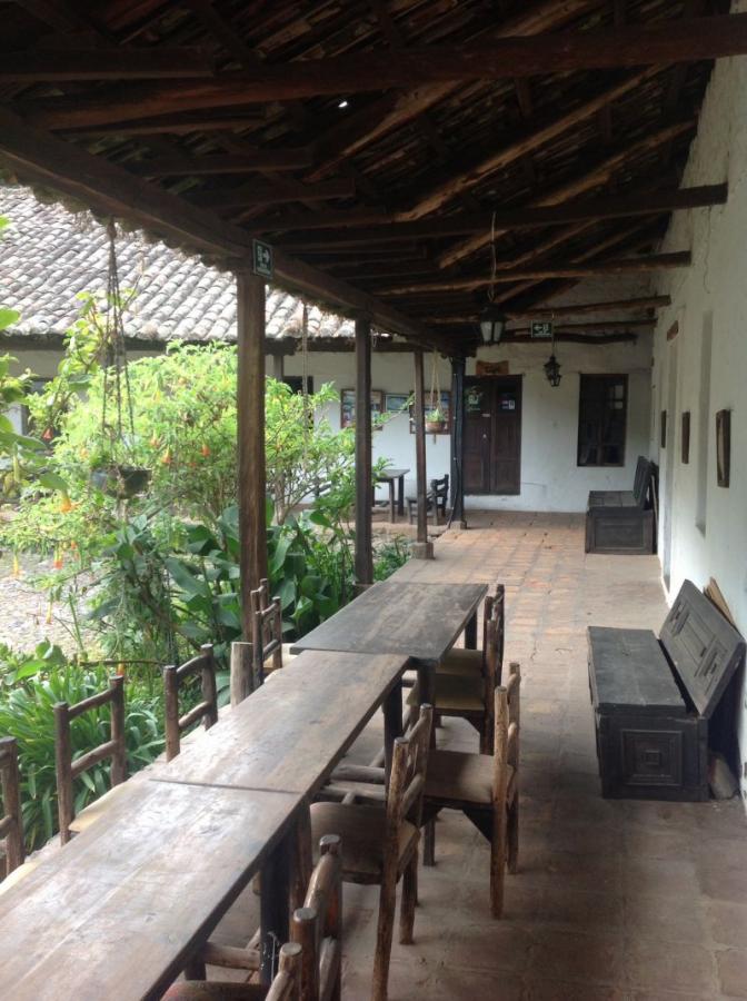
Visibly satisfied, we continued towards Lasso and stopped at a well-kept hacienda where the famous Alexander von Humboldt had already stayed.
13.01.2014
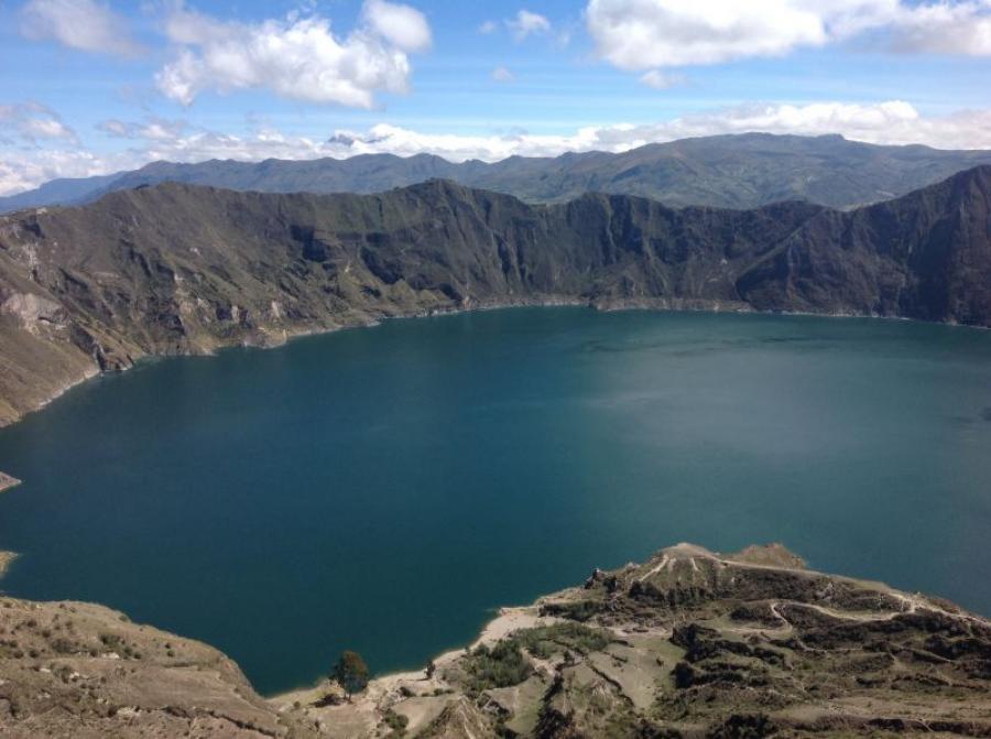
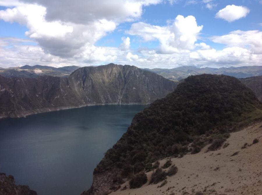
Circumnavigation of the crater lake from the volcano Quilotoa 3.914 m
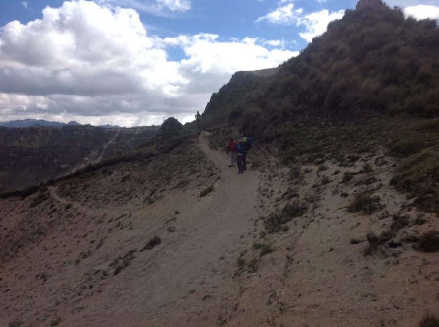
A very special attraction is the circumnavigation of the crater lake of Quilotoa. This place of the same name is located north of Chimborazo at about 3,900 meters. We drove from Latacunga westward into the cordilleras, past primitive farms with mud huts and lots of potato fields. At the place of the same name we stopped and marveled at the crater lake. Counterclockwise, we began the circumnavigation. Always at an altitude of about 250 m above the lake, we hiked along the crater rim. After about 12 km of easy ascent and simultaneous descent, the goal of the circumnavigation was reached. It is a unique experience to explore a volcano this way. We saw a variety of plants, animals and a well-maintained agricultural environment during this hike. After 4.5 hours of walking we reached our starting point again. That day our mountain activity in Ecuador had come to an end and we said goodbye to the local mountain guide. On the drive back to Quito, we reviewed our experiences. A successful mountain experience has ended happily without any notable complications.
14.01.2014
Impressions from Ecuador
Ecuador has been presented to us as a very diverse country. First and foremost are the unique highlands between the two cordilleras and, in contrast, the capital city of Quito. This city seems to grow unstoppably and its extension already covers more than 50 km from south to north.
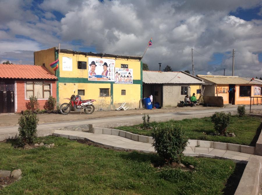
The only way to escape this city is through what is really the best developed road system in the country. A modern road leads up to the most remote mountain farming villages. The communications network is also well developed. In the mountain regions, however, people still live quite simply in mud huts or newer brick houses. One has the impression that an enormous development is taking place here, which still seems to be without control. Mountain tourism is still in its infancy. The refuges are all renovated and the professional mountain guides begin to organize themselves. In any case, there is enormous potential waiting to be discovered. The biggest challenge, however, will be to combine emerging tourism with ecology in a sustainable way.
Whether in the highlands, in the eastern jungle lowlands or on the Pacific coast. The first steps for a good development have already been taken.
Let’s hope that it continues in this sense.
15.01.2014
Farewell from Ecuador South America
The time has flown by. We experienced a lot and got to know a fantastic country. We are happy that we can finish this trip healthy and thank our mountain guide Hubert for the excellent organization. Many thanks also to my mountain companions Albert and Bernd for the beautiful days and tours I was allowed to undertake with them. Goodbye and I am looking forward again to all those who stayed at home.


